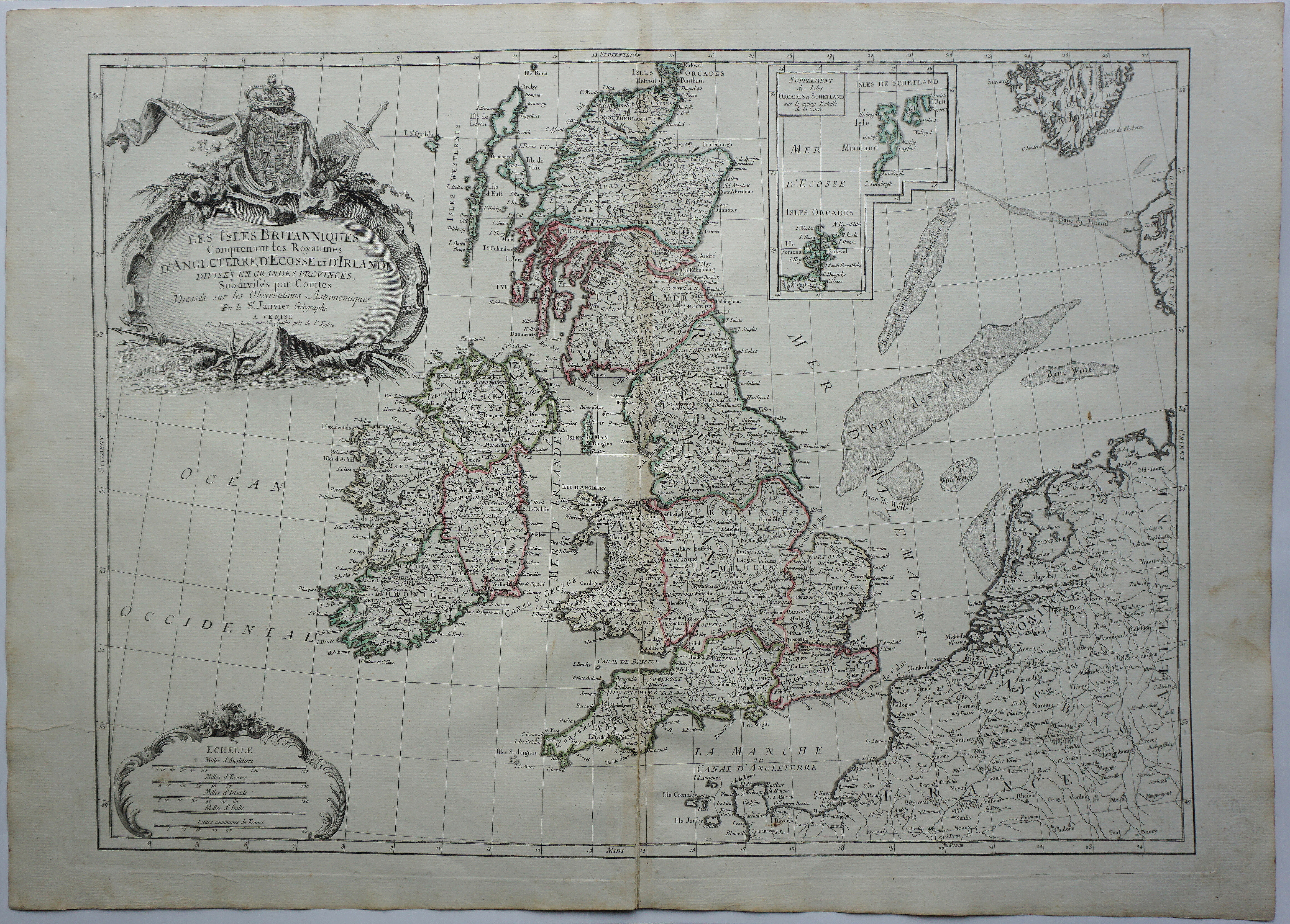
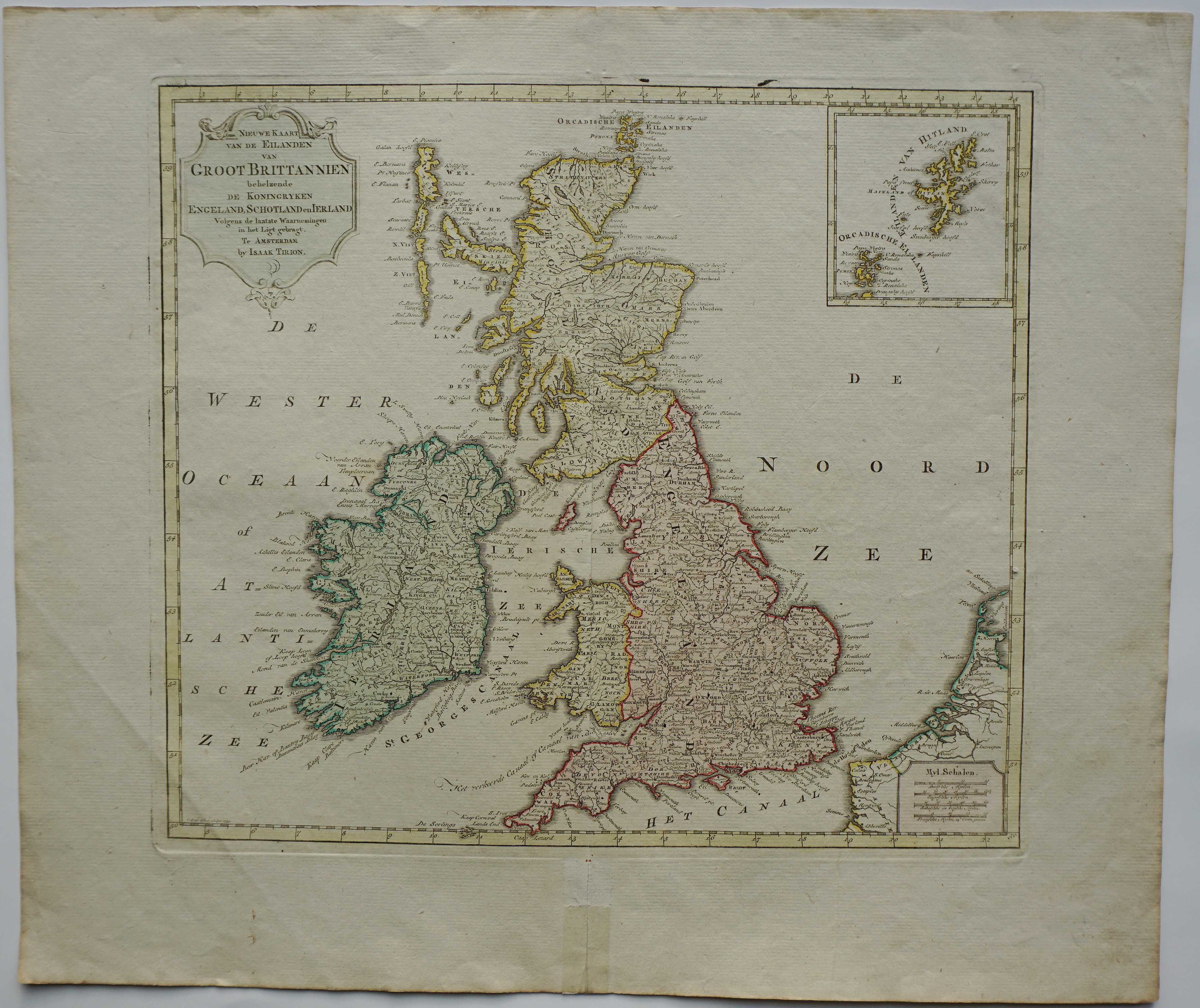
Title: “Les Isles Britanniques Comprenant les Royaumes D’Angleterre, D’Ecosse, et D’Irlande, Divise’s En Grandes Provinces, Subdifes par Comte’s Dresse’s sur les Observations, Astronomiques Par le S r Janvier Geographe” Description: Decorative map of England, Ireland, Scotland and Wales with Shetland and Orkney Islands. Large and decorative title cartouche with the royal coat of arms and rococo-style cartouche surrounding the four distance scales. Cartographer: Robert Janvier (1746 – 1776) Sheet size: 44,0 x 32,0 cm Year: 1762 Technique: copper engraving Condition: Good condition, centre fold as published, split in the bottom, old colouring. Original strong paper with watermark. This is a genuine antique map published in 1762 and not a modern copy or reprint!