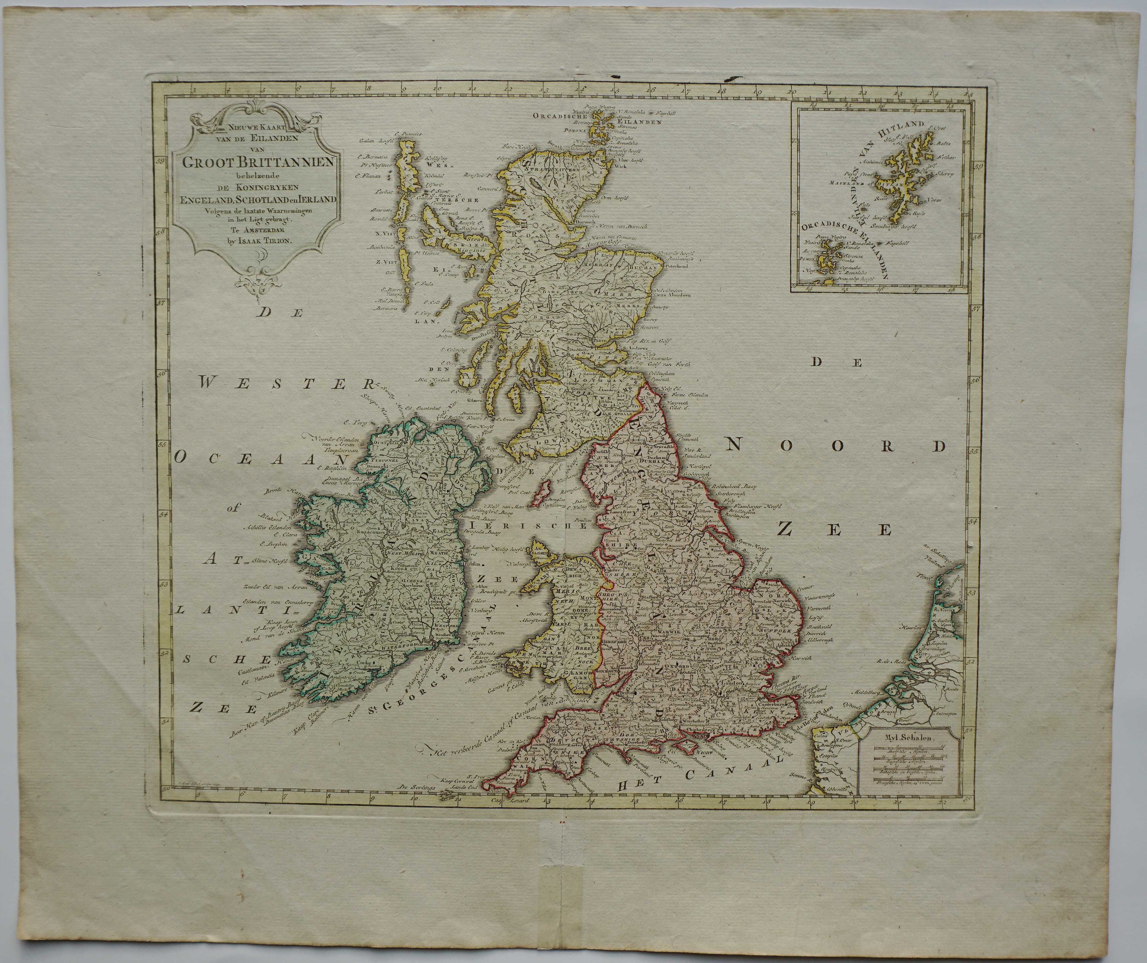
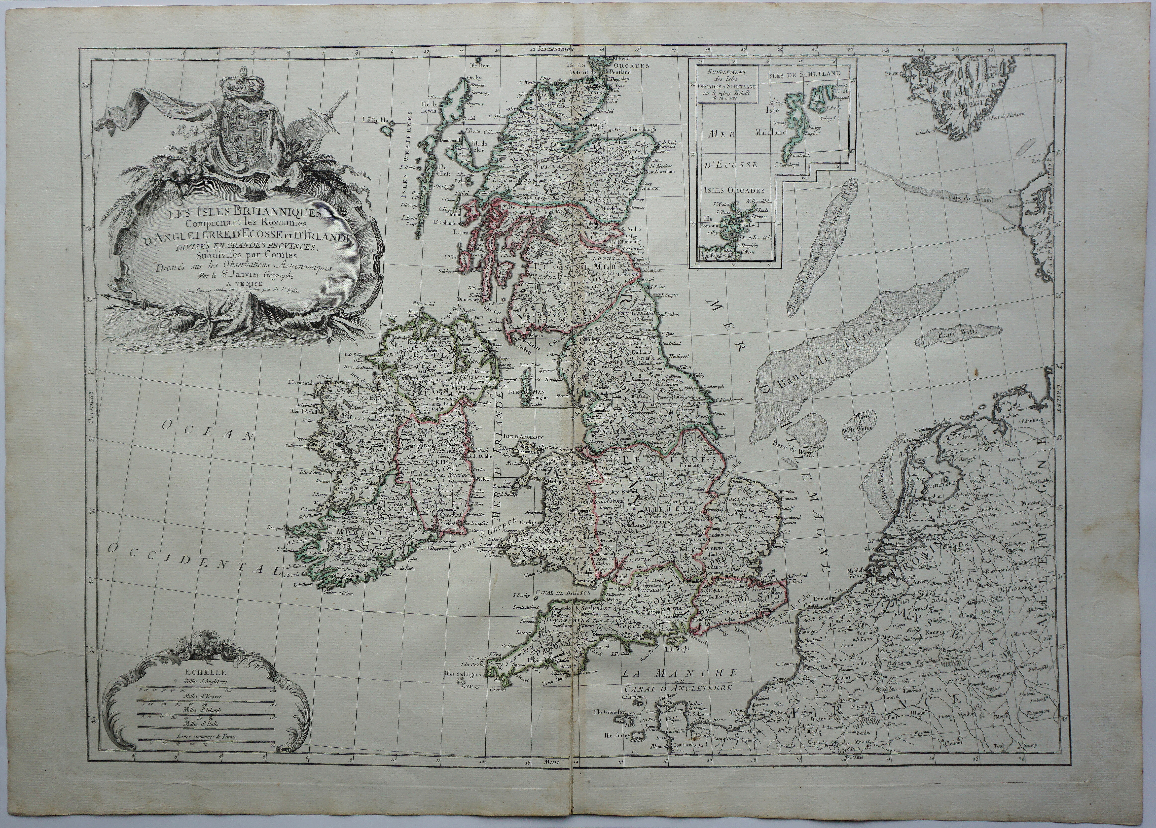
Title: “Les Isles Britanniques Comprenant les Royaumes d’Angleterre, Ecosse et Irlande : Divisée [sic] suivant ses principalles Prov[in]ces et Comtés / Dressé sur les Observations nouvelles par Crepy Geographe 1759” Description: Very decorative map of Great Britain and Ireland including the inset map of Orkney, Shetland islands and the top north of Scotland. Cartographer: Etienne-Louis Crépy (17.. – 1759) Sheet size: 70,5 x 54,3 cm Year: 1759 Technique: copper engraving Condition: Good condition. Contemporary coloring. This is an original antique map published in 1759 and NOT a modern copy or reprint On your request we will provide a Certificate of Authenticity