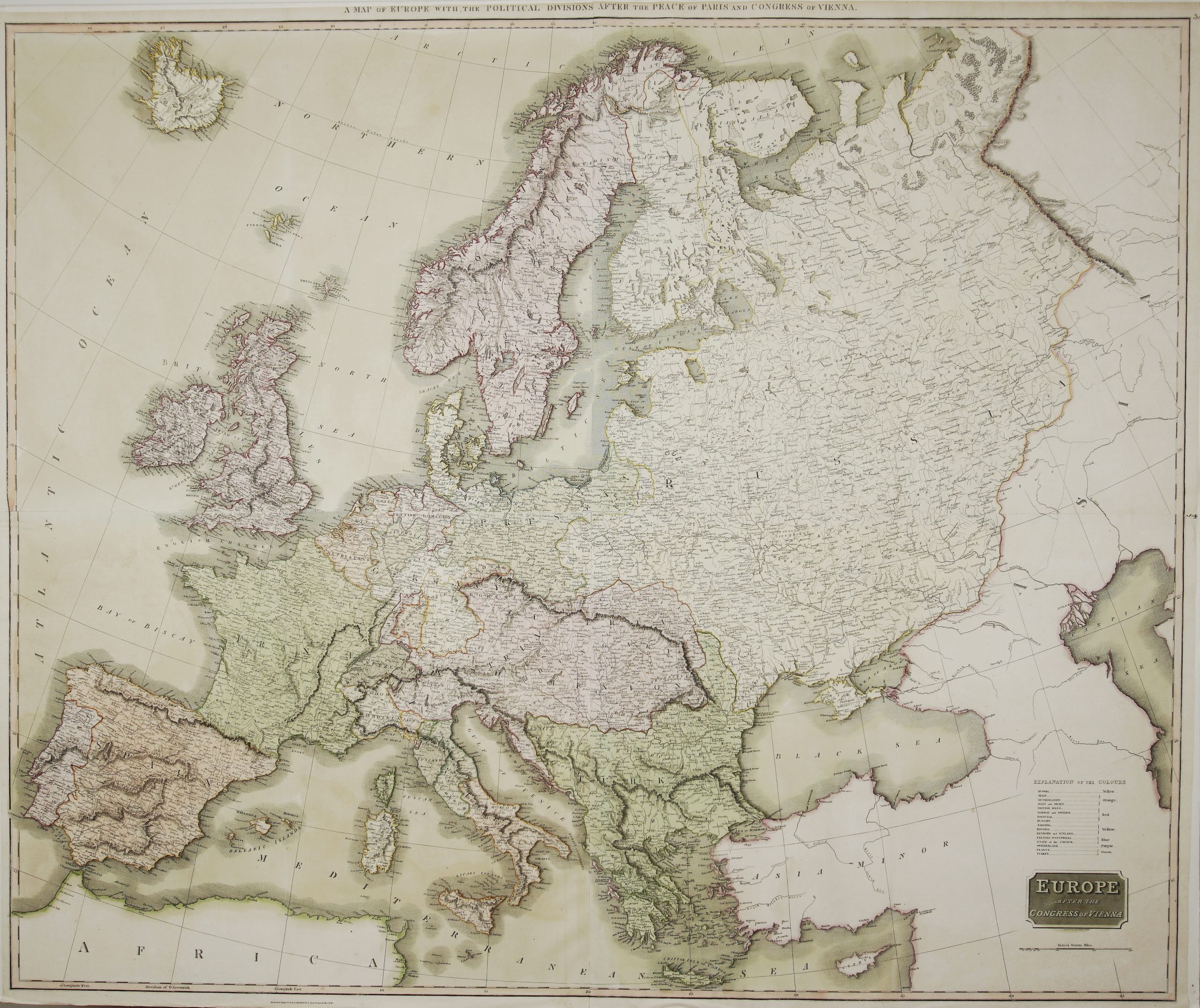
Title: “Europe Divisee en ses Differens Etats Suivant les Nouveaux Changemens . . .” Description: Large and detailed map of Europe continent by Robert de Vaugondy. The map published in atlas “Atlas d Étude pour l’instruction de la Jeunesse composé de diverses cartes par Mr Robert de Vaugondy e CH. Delamarche…” published by Felix Delamarche in Paris. Cartographer: Gilles Robert de Vaugondy (1688–1766) Sheet size: 72,8 x 55,5 cm Year: 1816 Technique: copper engraving Condition: Good condition. Slight staining, small marginal closed tears. Watermarked paper. This is an original antique map published in 1816 and NOT a modern copy or reprint. On your request I will provide a Certificate of Authenticity