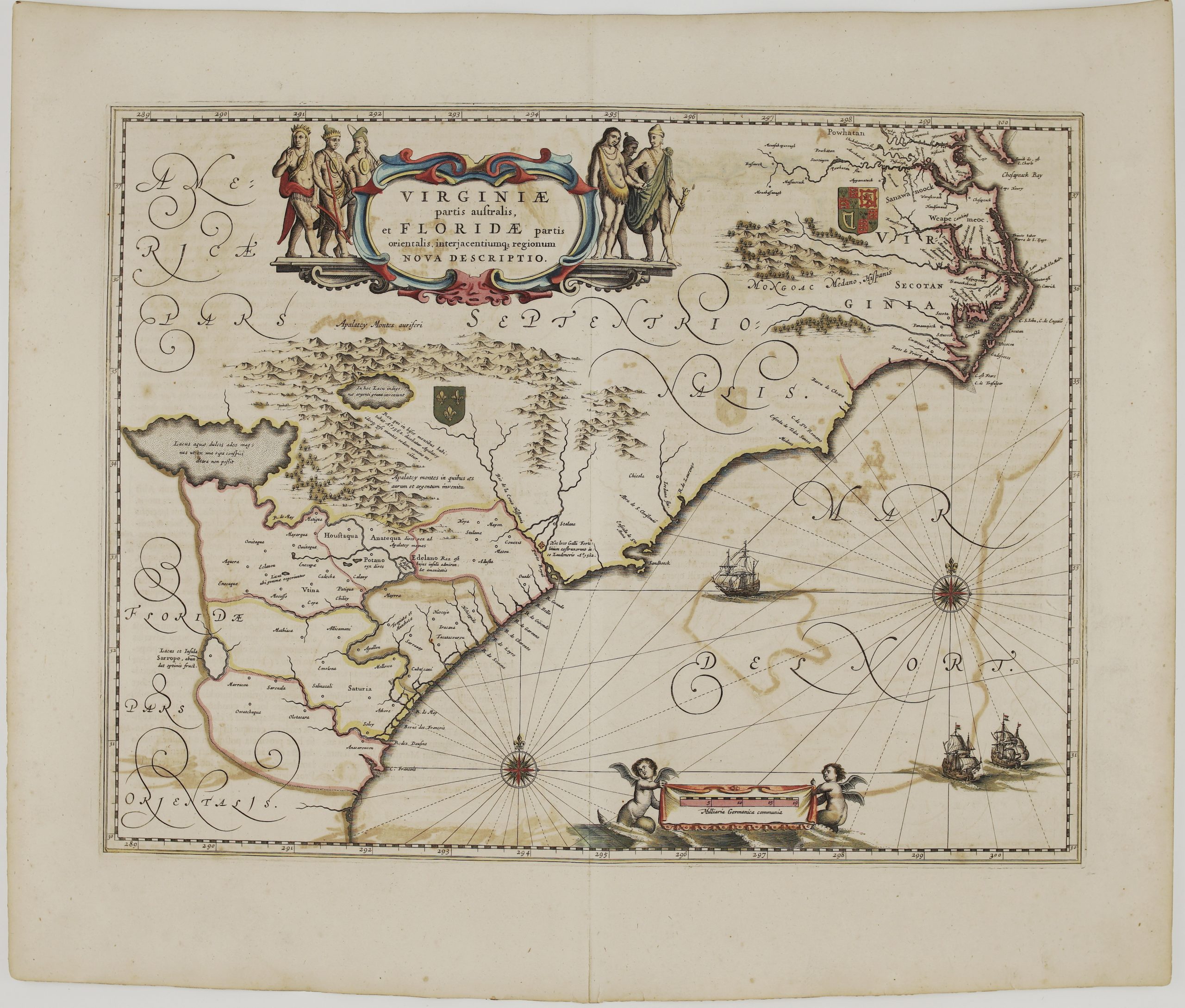
Title: “Terrae Mariae Nova et Virginiae Tabula” Description: Decorative antique map of the ‘Chesapeack Bay” area of today’s N. Virginia, E. Maryland, and Delaware, United States of America. Cartouche depicting a Brazilian Indian with a llama, goat, and unicorn. Map is oriented due West vs. today’s North convention. The map comes from John Ogilby book ”America: Being The Latest, And Most accurate Description Of The New World….” published in London, 1671. Cartographer: John Ogilby (1600-1676) Leaf size: 44,8 x 40,9 cm Year: 1671 Technique: copper engraving Condition: Very good, original condition. Middle fold as issued. This is a genuine antique map published in 1671 and NOT a modern copy or reprint On your request I will provide a Certificate of Authenticity